U-M Research Forecasts Warmer, Rainier Winter Storms for Great Lakes Region
According to new research from the University of Michigan, wild weather swings in the Great Lakes region are poised to become even more common in the future.

According to new research from the University of Michigan, wild weather swings in the Great Lakes region are poised to become even more common in the future.
Anyone who’s spent their winter months around the Great Lakes has probably had the uncanny experience of living through three seasons in a single weekend. According to new research from the University of Michigan, these wild weather swings are poised to become even more common in the future.
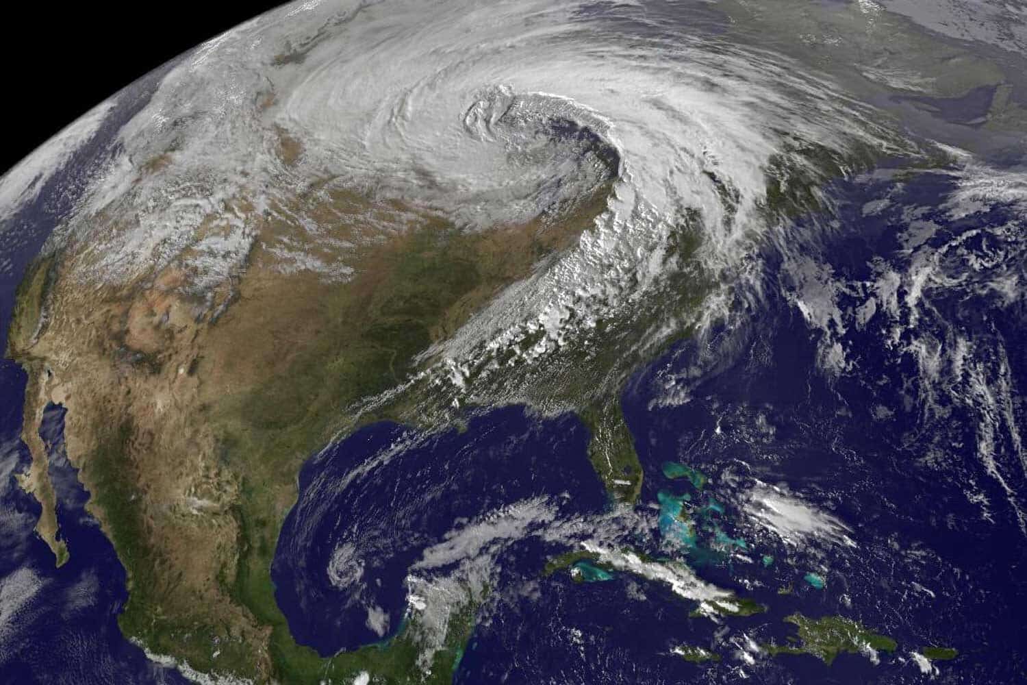
Behind this forecast is an analysis spanning decades of data about large storm systems known as midlatitude cyclones or extratropical cyclones.

These are important drivers of winter weather in the Great Lakes region, but the extent of their connection to the region’s mercurial climate patterns has been underexplored, said U-M researcher Ayumi Fujisaki-Manome.
“We’ve been noticing a lot of changes in wintertime climate. Sometimes there’s warming, other times you have extreme cold,” said Fujisaki-Manome, an associate research scientist at the Cooperative Institute for Great Lakes Research, or CIGLR.
“Extratropical cyclones are the predominant weather feature during that time. Asking about their effect on the changes and fluctuations we see in the Great Lakes region is a natural question that nobody has really looked into.”
The research is published in the journal Geophysical Research Letters.
Study: Historical Trends in Cold-Season Mid-Latitude Cyclones in the Great Lakes Region
On one hand, the new analysis of historical weather data underscored what researchers knew about the cyclones. The storms, like the day-to-day weather of the Great Lakes region, are highly variable. But within that inconsistency, the researchers resolved a significant trend.
On average, the air masses carried by these storms are warming at a faster clip than the background climate warming level in the Great Lakes region. The storms are also carrying more moisture, which can fall as rain especially in the southern parts of the region.

“The year-to-year variability—the strength of the storms, their location, their frequency—is wild. It’s all over the place,” said Abby Hutson, the corresponding author of the new report and assistant research scientist at CIGLR, which is housed in the School for Environment and Sustainability.
“But according to historical data sets, the midlatitude storms rolling through the area are getting warmer and wetter, and their tracks are shifting northward.”
This combination has a couple of implications, Hutson said. For one, storm centers with high winds and a wintry mix of snow and rain will become more likely for the northern part of our region, creating treacherous conditions for travel and shipping.
It also heightens the likelihood that winters will be characterized by more liquid water from rain, reduced freezing and melting snow and ice. That could, in turn, lead to more flooding, especially in coastal areas.
For this study, the researchers tracked the average characteristics of winter cyclones that traveled through a region that includes Michigan, Wisconsin, Minnesota, Illinois, Indiana, Ohio, Pennsylvania, New York and Ontario between 1959 and 2021.
This allowed the team to discover the trends in the cyclones. But Hutson and Fujisaki-Manome stressed that more work is needed to understand how what’s happening on average is influencing individual events.
For instance, although the storms are carrying more moisture over time, the team did not find an increase in average precipitation as either rain or snow.
“On average, we’re not seeing that,” Hutson said. “But our potential for extreme precipitation is certainly going up.”
Ryan Glassman also contributed to this project, which was funded by the National Oceanic and Atmospheric Administration, as an undergraduate research fellow from Valparaiso University.